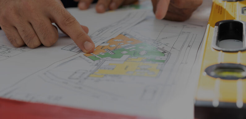
Contour surveying is a method of mapping the elevation of the land surface by measuring the vertical distance between different points on the ground and creating a representation of that surface in the form of contour lines on a map. The lines connect points of equal elevation, allowing the viewer to see the shape of the terrain and infer the slope and direction of the land.
Contouring is used in surveying to calculate the elevation of several spots on the land and set these points in the same horizontal positions on the contour map.
Purpose of contouring in surveying
A contour map is helpful since it offers vital information about the land. Any engineering project, such as building a bridge, a road, a railway, a canal, a dam, etc., begins with a contour survey.
Benefits of Contour Surveying
Numerous applications for contour surveying are well known. They consist.
- Examines the sloping topography, drainage, and other primary factors related to designing a road when building roads and highways.
- In railway engineering, they alert builders to multiple difficulties they can encounter when constructing trains on sloped terrain.
- To map and assess the topography of the affected area before dam construction can start and stop floods. Additionally, it gives information on the nearby body of water, including its depth and level.
- The purpose of understanding the landscape’s surface is to know its slope, height, drainage slope, and other variables, which makes it easier to develop roads, water supply, and other infrastructure.
- In checking the trees and other plants present in a landscape, they serve legal and boundary-defining functions between properties.
- Helps in environmental assessments: Contour maps can be used to evaluate the impacts of a proposed development on the local ecosystem and identify areas that are sensitive to disturbance.
What are the methods for contouring in surveying definition?
● Group-based: Direct method
This technique enables the contours to be discovered and physically sketched out in the ground by locating and marking multiple spots along each contour line. These points are surveyed, plotted on a plan, and later contour lines are drawn across them. The most accurate way of contouring is direct, but it is also the slowest and most tiresome because it takes a long time to find locations with the same height. The Direct Method of Contouring is appropriate for tiny areas and situations requiring extreme accuracy.
● Range-based: Indirect method
The indirect method involves taking levels at a few chosen spots and lowering those levels. In this way, the approach finds the elevations of those locations after establishing horizontal control. Tracing the plan’s points later allows for marking lower levels and blending contour lines between the chosen spots.
● Individual
Contour lines with the same elevation can’t combine and continue as one line. It is not possible to divide a single contour into two lines thus. The single line, if visible, would indicate a knife-edge ridge or dip that does not exist in nature, making this evident. However, two separate curves that are very packed tightly from one another may have the same height.
Final Thoughts
A contour in the context of land property is the outline of a land mass. Finding any observable differences in the elevation of the existing land is the primary priority of contour surveys. A topographic map that shows valleys, hills, and the steepness or leniency of slopes is an example of a contour map in a land contour survey.
Contouring in the survey is the skill of determining and displaying the relative heights or elevations of various places on the surface. Contour lines depict the elevations and depressions of the ground surface on a map.
Engineers should be proficient in using the instruments needed for contouring in the survey, given the significance of the factors.
The Infycons consists of a committed group of software professionals and engineers. We supply top-notch software products for the engineering sector, including cutting-edge GIS and visual engineering application solutions. Along with regular tasks, utilisation of our software in highly specialised domains is necessary. Regardless of the size of the project, we always raised the bar for usability integration.

